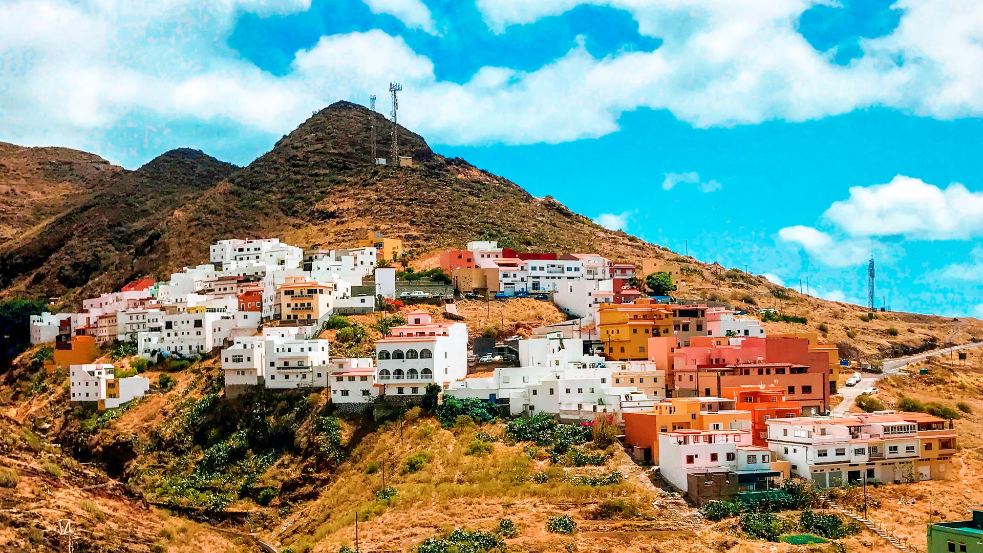
For many, a trip to the Canary Islands is a dream come true – the ever-warm weather, stunning sights and beaches ripped straight out of paradise. Though the aesthetic of the islands is common knowledge for many, not all know where the Canary Islands actually are. So, if you wish to partake in the search for the Canaries, let’s find out where this archipelago is located.
The famed Canary Islands, or Canaries, is an archipelago of 7 large and 6 smaller islands, all belonging to Spain. The main islands are:
- El Hierro,
- La Palma,
- La Gomera,
- Tenerife,
- Gran Canaria,
- Fuerteventura
- and Lanzarote
Then, there’s the 6 islets:
- La Graciosa,
- Montaña Clara,
- Alegranza,
- Roque del Este,
- Roque del Oeste
- and Lobos
Though the Canaries is already a collection of islands, this collection is also a part of a larger collection called Macaronesia – this includes the Canary Islands, Cape Verde, the Azores and Madeira. Given their geographical location, one could wonder whether they are a part of Europe or Africa. So, where are the Canary Islands?
The Canaries are located in the Atlantic Ocean, about 60 miles to the west of the African coast, close to Morocco. Geographically, therefore, the islands are in Africa – after all, the Canaries are much closer to Casablanca than to Madrid. Still, the Canaries are a part of Spain, even if they are an autonomous community. As such, the Canary Islands mark a “special territory of members of the European Economic Area”, and an outermost region of the European Union.
Summary: The Canary Islands are closest to the African coast, and are a part of Macaronesia, though still remain in the European Union due to them being a part of Spain.
See also:


