
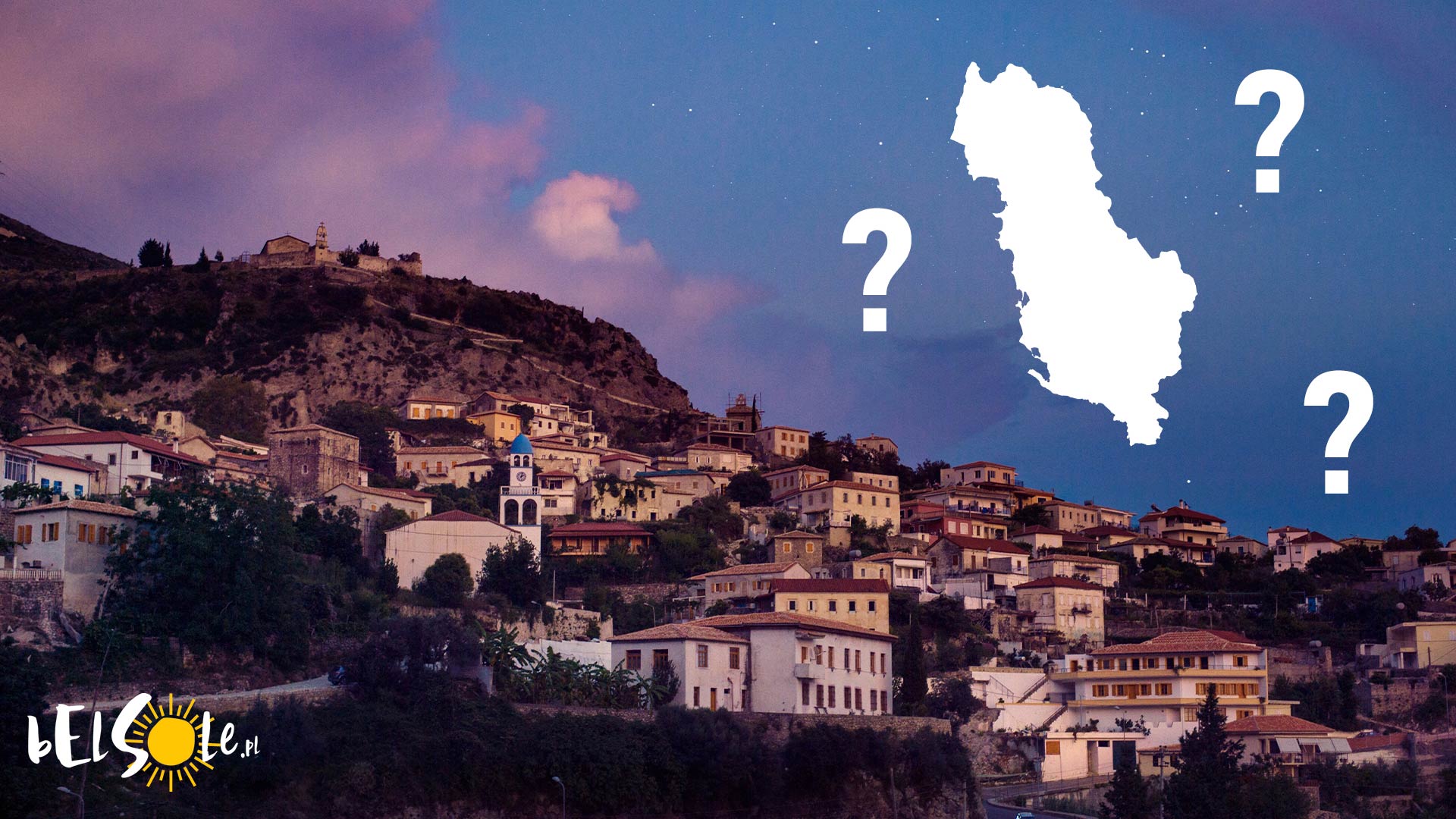
Planning a holiday to that Albania that you’ve heard so many good things about but you frankly don’t have a clue about it? Don’t worry, it’s never too late to catch up to speed with geography. So let’s go over the absolute basics today: where is Albania located?
Where is Albania?
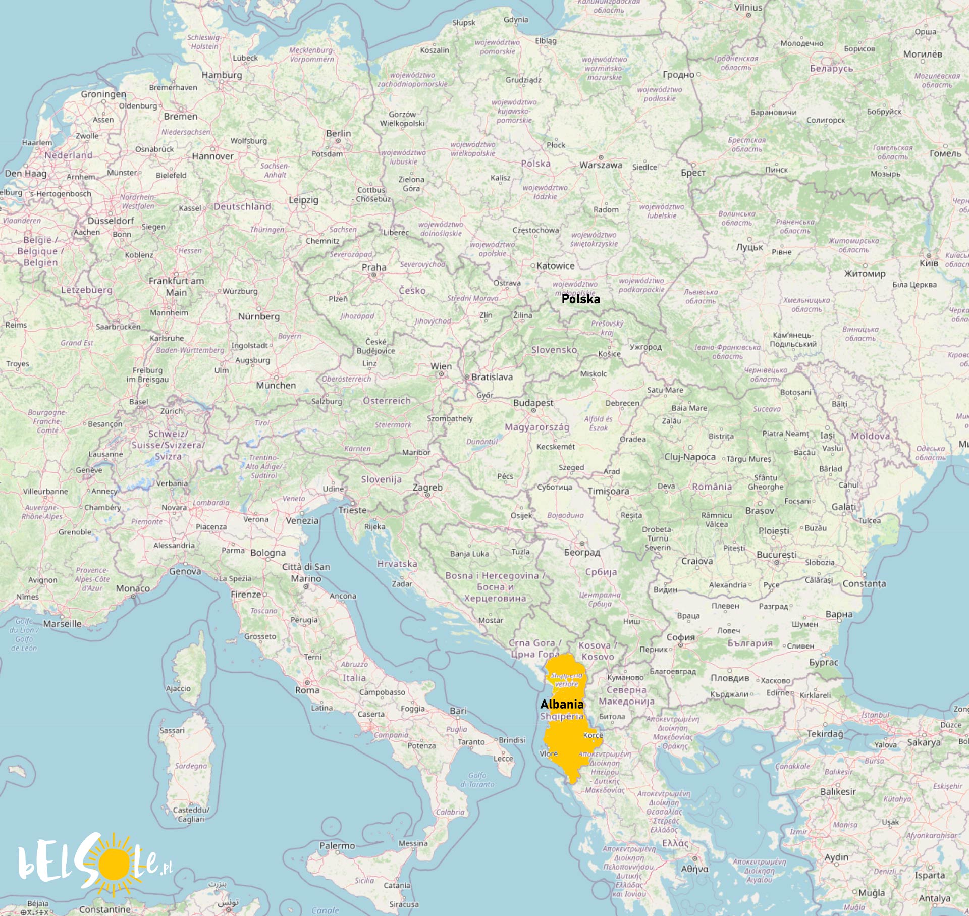
Albania is a country on the Balkan peninsula, about 1,500 miles from the UK. Albania lies south of Croatia and Montenegro, right next to Greece and North Macedonia. To the west, Albania has access to the Adriatic Sea, the Ionian Sea – both part of the Mediterranean Sea, hence why there are so many beautiful beaches in Albania. The coastline makes up nearly 200 miles.
For the most part, Albania is a small (28,748 km²) mountainous country with a small percentage of lowlands – these mainly being by the sea. As far as the climate is concerned, it’s a mix of the Mediterranean climate near the coast and the continental climate in the highlands. The country is divided into four physiographic regions:
- the Northern Mountain Range
- Central Mountain Range
- Southern Mountain Range
- Western Lowlands
Albania’s neighbours are Montenegro, Kosovo, northern Macedonia, and Greece – across the sea, there’s also Italy.
Is Albania located in Europe?
Yes, geographically Albania is a part of Europe, though it’s not a part of the European Union (yet) or Schengen. Although it is in Europe, it’s also close to the Middle East culturally, as over half of the population is Muslim.
Location of Albania on the map
Here’s Albania on the map of Europe.
See also: